
Why a Survey Matters Before Any Landscaping Project
When you’re planning a landscaping project, the exciting part is the design. What most homeowners skip and often regret, however, is understanding what’s going on with their land before a single shovel hits the ground.
One of the most overlooked landscaping tips is to get a land survey first. It sounds like a step reserved for builders or developers, but a survey is just as relevant for homeowners planning outdoor improvements.
What a Land Survey Actually Does
A land survey is a professional measurement and documentation of your property: its legal boundaries, dimensions, levels, and physical features. Depending on the type, it can tell you where your land legally begins and ends, how the ground slopes and drains, and where recorded easements sit within your boundaries.
In the context of landscaping, a survey gives you the factual foundation to design something that actually fits your property legally, physically, and practically. It replaces assumptions with data so you can make the right decisions about your site.
Your Property Boundaries Probably Aren’t Where You Think
This is the assumption most homeowners make: “I know where my land ends: it’s where the fence is.” But fences are structures, not legal boundaries. And they’re often in the wrong place; sometimes by a little, sometimes by a lot.
Guessing property lines is a genuine financial and legal risk. If your new garden bed, retaining wall, or paved driveway extension encroaches on a neighbour’s land, even unintentionally, you can be required to remove it at your own expense. Disputes over encroachments can escalate quickly, and legal proceedings cost far more than a survey ever would.
And if you’re thinking a friendly arrangement with your neighbour covers you: verbal agreements about boundaries aren’t legally binding. If either property changes hands, that understanding disappears with it.
Old survey documents from when you bought the property, Google Maps, or the existing fence line aren’t substitutes for a current, professionally conducted survey. Records date, features shift, and online tools simply aren’t accurate enough for construction purposes.
Underground Utilities: An Invisible Risk
Beneath most residential properties runs a network of pipes, cables, and conduits for gas, water, sewer, electrical, and telecommunications. Not all of it is accurately mapped and most of its routing runs hidden underground, with no indication at the surface of where lines travel between connection points.
Digging without confirming what’s below is more than a landscaping mistake; it can be dangerous. Striking a gas line or electrical cable creates serious safety risk. Damaging a water main or sewer line means emergency repairs and costs that weren’t in any budget. Even shallow excavation for post holes or raised garden beds can intersect with services closer to the surface than expected.
A utility check combined with a site assessment identifies where services are located before work begins. It’s a straightforward step that prevents a category of risk most homeowners don’t think about until it’s too late.
Easements, Setbacks, and What You Can Legally Build
Two legal concepts catch homeowners off guard more than any others: easements and setbacks.
An easement is a right attached to your property that allows another party, typically a utility provider or neighbouring property, to access a section of it. As a rule, you can’t build permanent structures over an easement without the written consent of the easement holder. If you do, you risk being required to remove them at your own cost, regardless of how much you’ve invested.
A setback is the minimum distance a structure must sit from a property boundary, road, or other designated feature. Local planning rules set these distances, and they apply to landscaping structures just as they do to buildings. That proposed pergola, shed, or retaining wall might be closer to the fence line than the rules permit.
A current survey maps your boundary positions and can note recorded easements, giving you and your designer the accurate site data needed to apply local setback rules and confirm what you can legally build where
Topography Shapes Every Design Decision
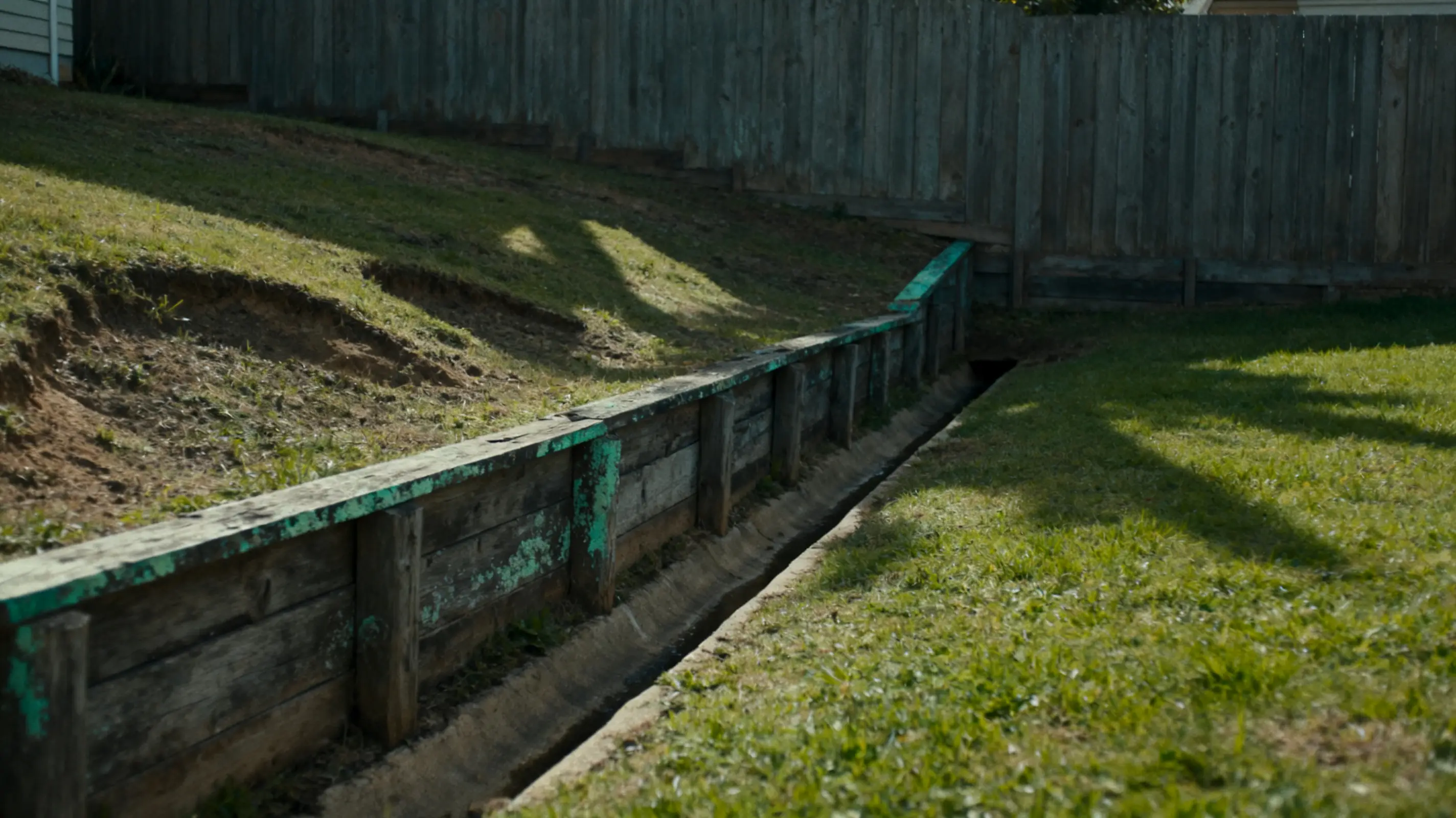
If your block isn’t flat (and most aren’t) the way water moves across it matters enormously. Poor grading can direct runoff toward your home’s foundation, flood planting beds, erode embankments, or create pooling in lawn areas that kills grass and invites pests.
A topographic survey maps the exact levels across your site: heights, contours, slopes, and natural drainage paths. This data shapes every practical decision in a landscaping design, such as where paving goes, how retaining walls are sized and positioned, where trees are planted, and how stormwater is managed. Without it, even a beautiful design can create drainage problems that take years and significant expense to fix.
When Permits Are in the Picture
More landscaping work requires a permit than most homeowners realise. Retaining walls over a certain height, swimming pools, pergolas, sheds, significant earthworks, and structures near boundaries often need approval from local authorities before work can start.
Permit applications typically require accurate site documentation, including survey data. Submitting plans based on estimates or incorrect measurements can delay approvals, trigger costly revisions, or result in conditions that require redesign. A survey upfront means your application is built on real information, which is what approvers require.
Which Survey Type Does a Landscaping Project Need?
The right survey depends on your specific project:
- Boundary survey: Confirms the legal limits of your property. Essential if you’re building near fence lines, or if boundaries have never been professionally confirmed.
- Topographic survey: Maps the physical features, levels, and contours of the site. Essential for any project involving grading, drainage, retaining walls, or significant earthworks.
For most mid-to-large landscaping projects, a combination of boundary and topographic data is the most useful starting point. A qualified land surveying service can assess your project and advise on what’s needed, and many landscaping surveys can be completed faster than homeowners expect, without delaying your project timeline.
The Real Cost of Skipping a Survey
The objection is predictable: “My project isn’t big enough to need a survey.” But the calculation changes when you consider what can go wrong.
Removing a structure that encroaches on a neighbour’s land. Repairing a damaged utility line. Demolishing a retaining wall built over an easement. Resubmitting a permit application because the original drawings were based on assumptions. Each of these outcomes costs significantly more in money, time, and stress than a survey would have.
A landscaping survey is a modest upfront investment relative to most project budgets. It’s one of the few landscaping tips that’s essentially guaranteed to pay for itself, either by preventing a costly mistake or by giving your designer the accurate site data they need to build something that lasts.
Plan Before You Plant
A well-executed landscaping project starts long before the first plant goes in or the first post is set. It starts with understanding the land you’re working with; its legal boundaries, its physical features, its constraints, and its potential.
If you’re planning a significant outdoor project and haven’t confirmed your boundaries, assessed your site levels, or checked for underground services, that’s the right place to begin. Getting a survey done before you finalise your landscaping design isn’t a delay, it’s the step that prevents every other kind of delay down the track.
This article was prepared in collaboration with C&A Surveyors, a surveying firm specialising in residential and commercial property surveys.